

Climate change is making weather increasingly unpredictable, and rare disasters are so rare that accumulated statistics are often insufficient for risk assessment. Engineers at the Massachusetts Institute of Technology (MIT) have proposed an approach that flips conventional logic: their algorithm does not learn from past disasters but generates scenarios of events that simply have not occurred in a region's history. The developers — graduate student Kai Chang and Professor Themistoklis Sapsis — presented a method that builds maps of potential catastrophes based on statistical probability rather than the repetition of past events.
Why traditional risk models are blind to new threats
Insurance companies, urban planners, and power grid operators typically assess risks through simulations that rely on already-occurred extreme events. Such models incorporate data from past hurricanes, floods, or droughts, and then project these patterns into the future. The logic is simple: if a disaster recurs with a certain frequency, it can be predicted by analogy.
But this approach has a fundamental flaw, which MIT researchers explain using Hurricane Katrina as an example. Events of that magnitude occur roughly once every 30–40 years, while insurers and engineers need assessments for much rarer phenomena — those that happen once a century or less. There is almost no data on such catastrophes, meaning classical algorithms either underestimate the risk or simply predict what has already happened. The new development aims to close this gap by answering the question of what an event with a one-percent annual probability looks like, even if nothing similar has ever been recorded.
How the algorithm learns the "impossible"
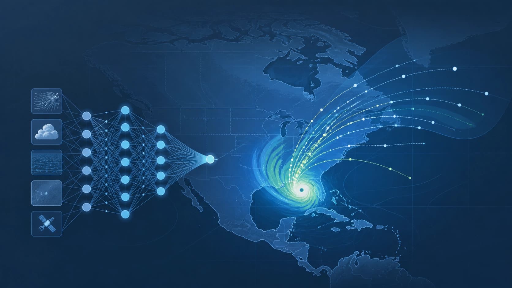
Instead of searching historical data for traces of catastrophes, the Extreme Event Aware (η-learning) method works with two types of input data. The first is point statistics: it shows how often a certain intensity level occurs in a dataset, such as the maximum amount of rainfall on a map in a single day. The second type is spatial maps that describe how the force of impact is distributed across a region's territory.
The key idea is to learn the statistical relationship between these two representations. The algorithm observes how low-resolution spatial patterns correlate with detailed high-resolution maps and uses the point statistics of the entire period as a constraint. This allows it to generate realistic spatial scenarios for events that far exceed any examples in the training set. In essence, the network does not predict "what will happen" but constructs "what could happen" — albeit with a mathematically sound probability.
Testing on U.S. precipitation data
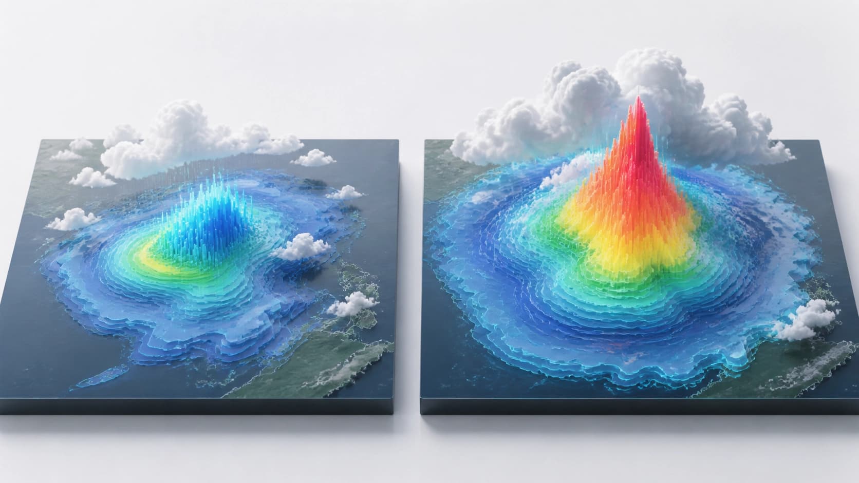
The method was tested on precipitation data from the continental United States. For the experiment, 25 years of hourly observations were taken, aggregated into daily maps, and point statistics were computed — how often the maximum precipitation on a map reached a given level over the entire period. The spatial model was trained on a much more modest dataset: only six months of paired low- and high-resolution maps. Notably, the first six months of the 25-year period were chosen — a stretch where heavy downpours were rare or entirely absent.
The algorithm then learned how low-resolution patterns transform into high-resolution details and applied the full quarter-century point statistics to constrain the scale of generation. The result was telling: the maximum recorded precipitation in New York reaches 200 millimeters, while the method can generate plausible storm maps with 300 millimeters — a level with no analogue in observations. A user can specify a city to the algorithm and request a "100-year storm," receiving a series of maps with varying sizes, coverage areas, and precipitation intensities. Moreover, generating such scenarios does not require significant computational resources: the network can produce entire arrays of variants in a single run.
Who could benefit from generated catastrophes
The ability to foresee a disaster that has not yet occurred opens practical prospects for a range of infrastructure decisions. A city administration can test whether a dam can withstand a storm surge exceeding everything previously recorded. Energy companies could receive scenarios of longer and more intense heatwaves to assess whether the power grid can handle peak loads. Fire services could rehearse fighting a wildfire larger than any that has ever occurred in their region.

Limitations and future outlook
So far, the method has only been demonstrated on precipitation, and applying it to other types of disasters will require preparing appropriate data: both point statistics and spatial maps for the specific hazard. Looking ahead, the authors envision expansion to severe floods and wildfires that have no analogues in historical archives.
Themistoklis Sapsis emphasizes the broader context: modern global infrastructure is optimized for efficiency and leaves very little safety margin. A single extreme event can spread through supply chains, energy markets, and food systems within weeks. Therefore, the ability to assign a probability to an event that has not yet occurred is not just a matter of scientific curiosity but also of national and economic resilience. The new MIT algorithm takes such a step: it does not predict the future from the past but helps prepare for what is statistically possible, even if it has never happened.