

Cyvl.ai
AI-powered platform for automated collection and analysis of road infrastructure data using lidars and 360-degree cameras.

Overview
Cyvl.ai is a specialized platform that automates the collection and analysis of transportation infrastructure condition data. The system uses a combination of LiDAR and 360-degree cameras mounted on vehicles to create detailed digital models of roads, bridges, and other structures. The collected data is processed by artificial intelligence, which generates structured reports and analytics.
The key feature of the service is the automation of field surveys. Instead of manually measuring and recording object parameters, engineers receive ready-made digital models with precise measurements and visual data. This reduces the time needed to prepare reports and improves the accuracy of work planning.
Cyvl.ai Features
| Feature | Value |
|---|---|
| Type | Platform for collecting and analyzing transportation infrastructure data |
| Category | Maps and schematics, 3D models and objects |
| Technologies used | LiDAR, 360° cameras, artificial intelligence |
| Target audience | Engineers, designers, municipal services, and contractors |
| Delivery format | Cloud platform with proprietary equipment installation |
| Distribution model | Not specified |
Who is Cyvl.ai suitable for?
Engineers and designers
Engineers get a tool for quickly collecting accurate spatial data without lengthy field work. Instead of manual measurements, they use automated models that can be applied to calculations and design decisions.
Municipal services and contractors
Municipal services and contracting organizations use the platform to monitor the condition of roads and infrastructure assets. The system helps identify pavement defects, control element geometry, and plan repair work.
How to use Cyvl.ai
Equipment installation
The first step is to install proprietary sensors (LiDAR and 360-degree cameras) on a vehicle. The equipment must be compatible with the platform and properly configured before starting work.
Data collection and processing
While driving, the system automatically collects spatial and visual data. After the route is completed, the information is uploaded to a cloud server, where AI analyzes it, builds digital models, and generates reports. The specialist only needs to work with the ready results through the platform interface.
Core features of Cyvl.ai
Spatial data collection
The platform captures the geometry of roads, bridges, and other objects using LiDAR and cameras while the vehicle is in motion. This makes it possible to obtain complete route data in a single trip.
Automatic image analysis
AI processes visual data, recognizes objects, and identifies infrastructure features. The analysis is performed automatically, without manual review of each frame.
Digital model generation
Based on the collected data, the system creates accurate digital models of objects with measurements and visualization. The models can be used for design and planning.
Report generation
The platform generates ready-made maps, measurements, and maintenance recommendations. Reports include infrastructure condition analytics and can be used for decision-making.
Cyvl.ai advantages
- Faster field surveys — data is collected automatically while driving, reducing work time.
- Lower manual labor costs — automated analysis reduces the need for manual measurements.
- Quick report preparation — AI processes data and generates reports in a short time.
- Improved decision accuracy — detailed data and measurements reduce the risk of errors in planning.
Cyvl.ai disadvantages
- Equipment requirements — proprietary sensors must be installed and initially configured.
- Limited compatibility — the platform only works with proprietary equipment.
- Learning curve — time is needed to master the interface and work with reports.
- Narrow specialization — the service is not suitable for tasks outside transportation infrastructure.
What problems does Cyvl.ai solve?
The platform is designed for mapping and analyzing the condition of roads, bridges, and other infrastructure assets. It automates field surveys and helps prepare reports on asset condition. The service is used for planning repair work and quality control of infrastructure.
Cyvl.ai pricing
Pricing information is currently not disclosed on the official website or in public sources. The platform is distributed under a model that requires the installation of proprietary equipment, so the final cost is determined individually depending on the configuration and scope of tasks.
Cyvl.ai terms of use
Using the platform requires the installation of proprietary equipment and sensors, including LiDAR and 360-degree cameras. The service is provided as a cloud solution, so internet access is required for data upload. Users will need initial system setup and training on working with the interface and reports.
Cyvl.ai availability
The official platform website is available at www.cyvl.com. To use the service, compatible equipment must be purchased or rented. Platform availability may vary by region depending on equipment delivery logistics and technical support.
How Cyvl.ai differs from alternatives
The main difference of Cyvl.ai is its focus on transportation infrastructure and its comprehensive approach to data collection. The platform combines hardware (LiDAR and cameras) with cloud-based AI data processing. This allows users to obtain ready-made digital models and reports without the need for separate analysis software.
Unlike universal 3D modeling tools, Cyvl.ai offers a fully automated pipeline: from field data collection to ready-made analytics. However, this limits its scope of application — the service is not suitable for tasks beyond transportation infrastructure.
Conclusion
Cyvl.ai is a specialized platform for collecting and AI-analyzing road infrastructure data. It automates field surveys, reduces report preparation time, and lowers manual labor costs. At the same time, the service requires the installation and configuration of proprietary equipment, and its use is limited to tasks in the transportation infrastructure sector. For engineers and municipal services working with roads and bridges, the platform can be an effective tool for process digitalization.
Frequently asked questions
See also


AI-based service for automatic generation of text content in various formats.
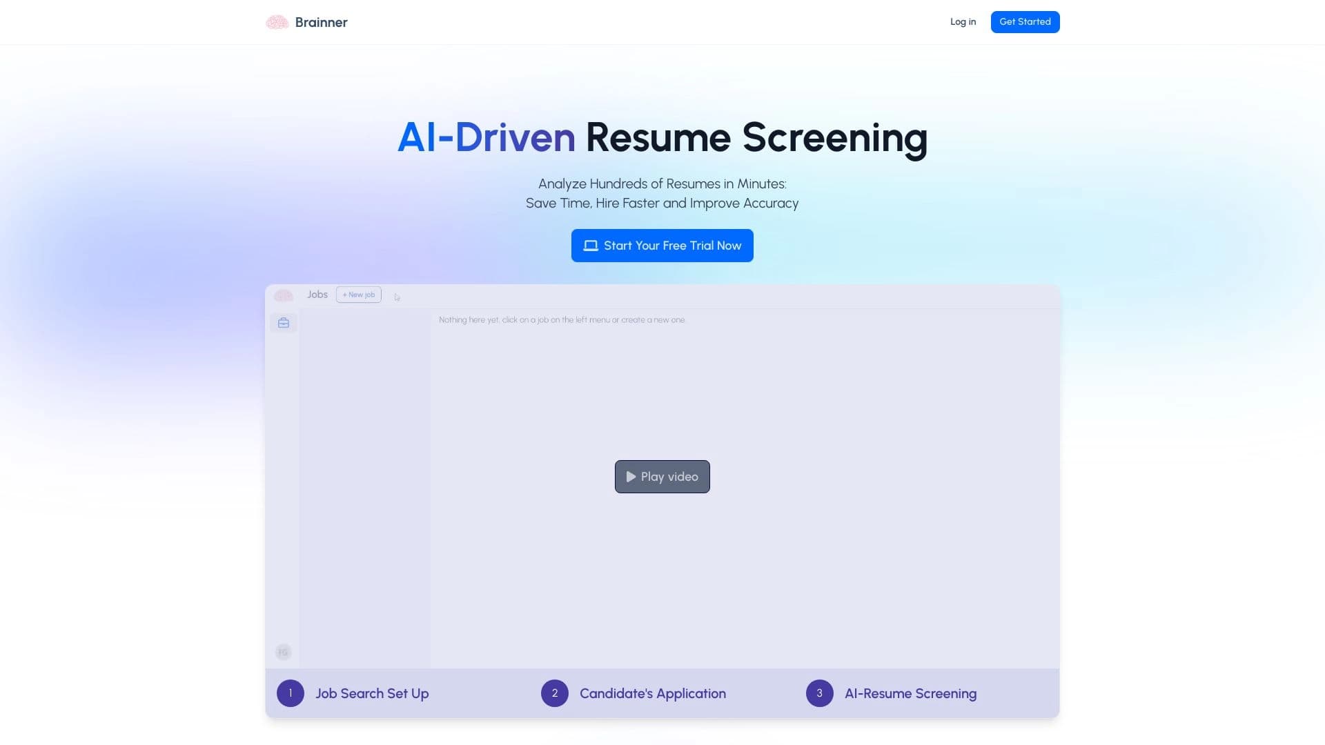
AI platform for fast resume screening that helps recruiters select suitable candidates.

AI platform for analyzing financial data and supporting investment decisions.


Desktop AI assistant for macOS, Windows, and Linux that launches via hotkey above all windows and combines multiple language models in one interface.


AI-powered toolkit for optimizing workflows and boosting productivity.


AI-based platform for creating logos and brand identity.
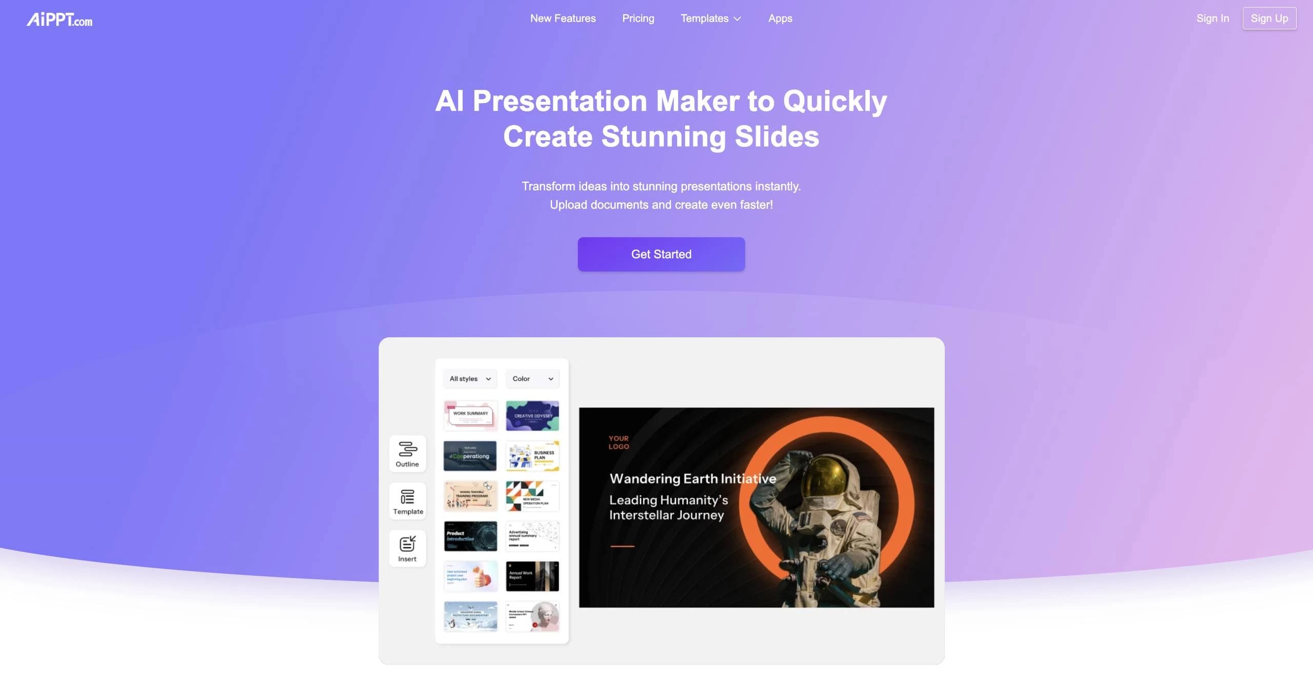

Online service with artificial intelligence that automatically creates presentations on a given topic.


Video editor with neural network support for video editing on Windows and Mac.