Why Meteorologists Need an Extra Day
Tropical cyclones are among the most destructive forces of nature. Over the past half-century, they have claimed more than 700,000 lives and caused nearly $1.4 trillion in damage to the global economy. Every additional 24 hours before a storm strikes is a chance to evacuate populations, reinforce infrastructure, and ultimately save lives. This is exactly the kind of lead time that new artificial intelligence models are trying to give forecasters.
Google DeepMind, together with researchers from Google Research and leading meteorological centers — including NHC, CIRA, and UK Met Office — has introduced the WeatherNext model. The results were published in the journal Nature. The developers claim that the model's accuracy is comparable to forecasts that were previously available a day later: WeatherNext's three-day predictions match the two-day forecasts of the best traditional systems. In effect, this is a leap of roughly ten years of meteorological progress.
How WeatherNext Works
An Ensemble of a Thousand Scenarios
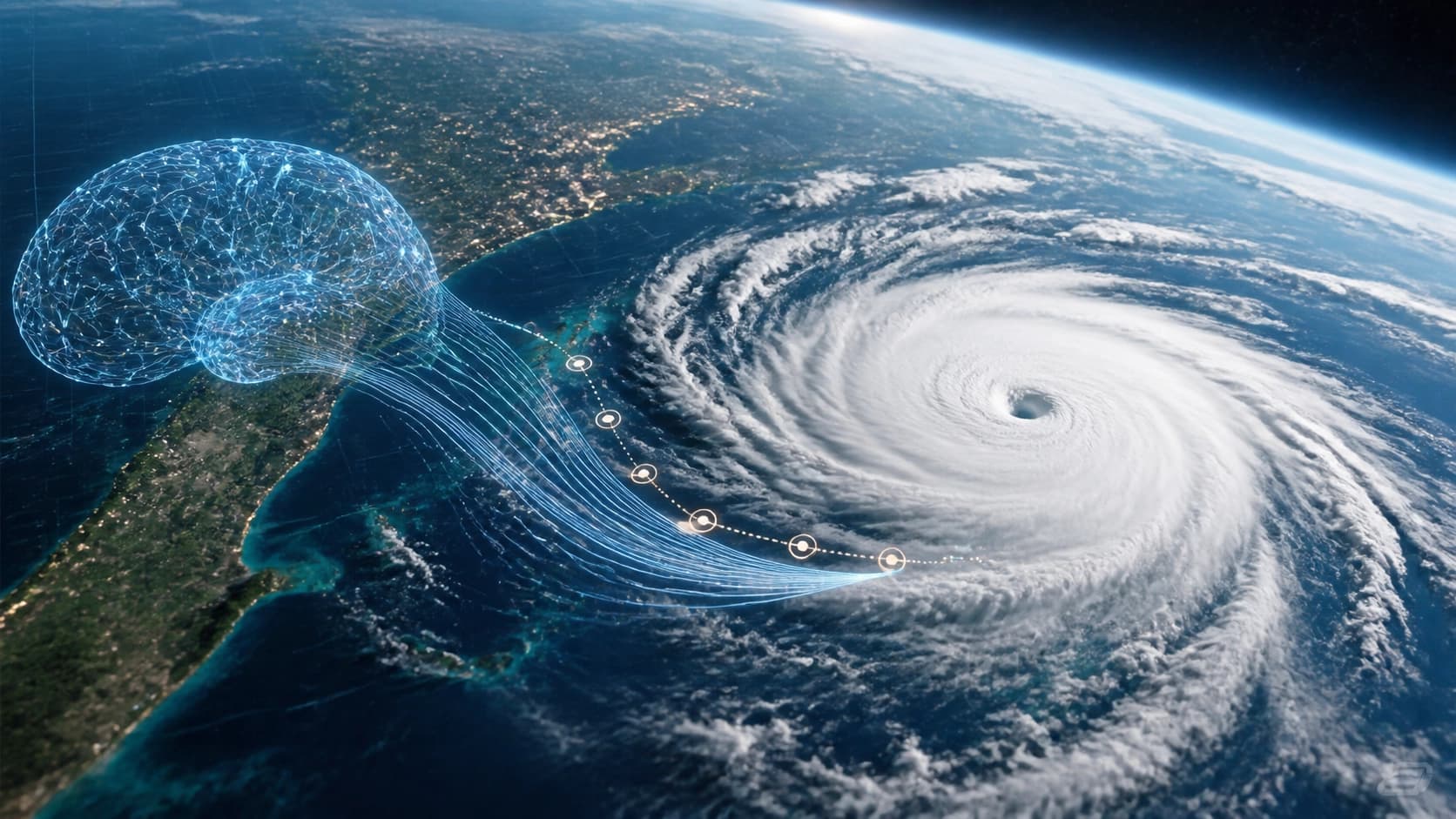
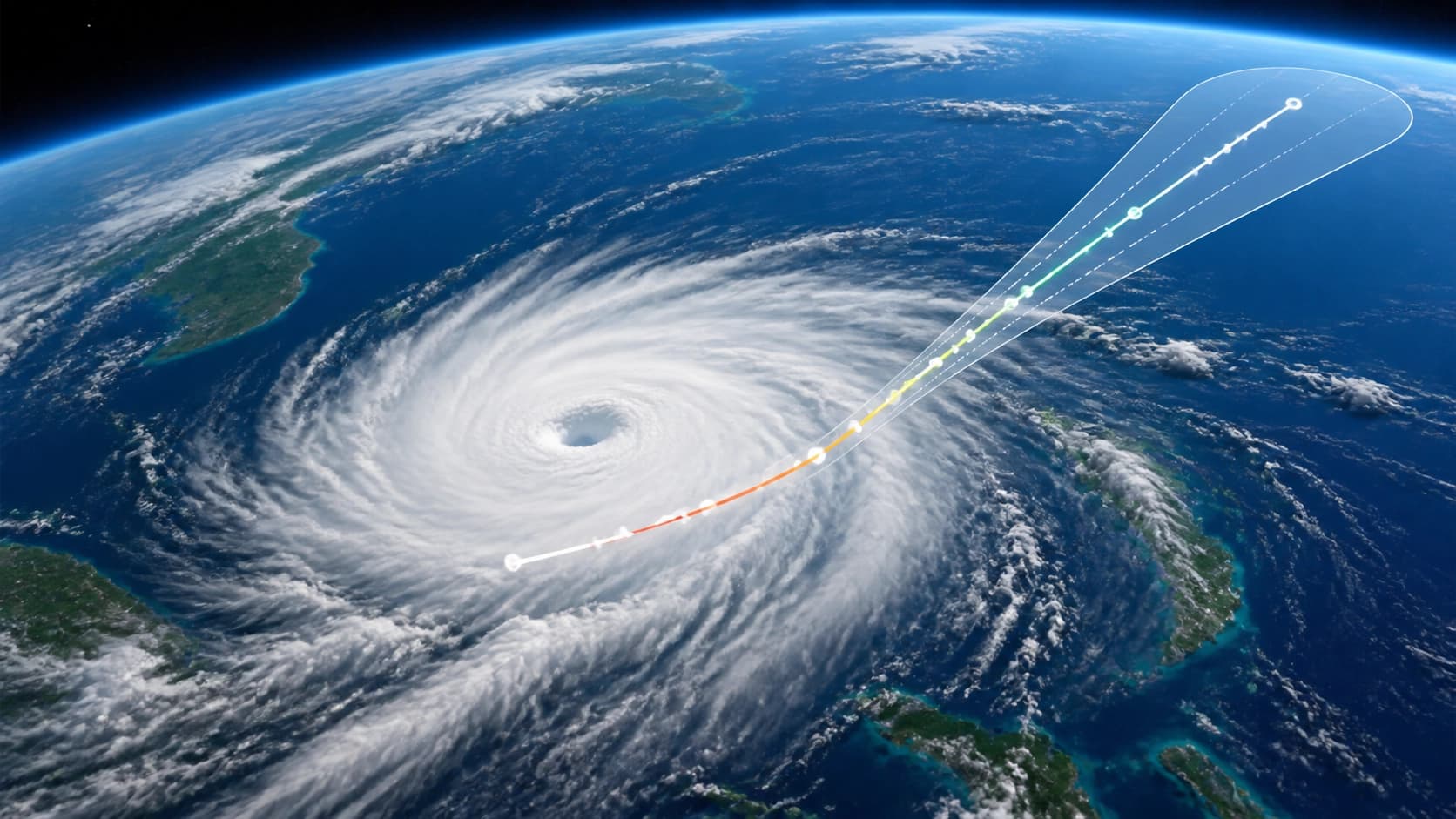
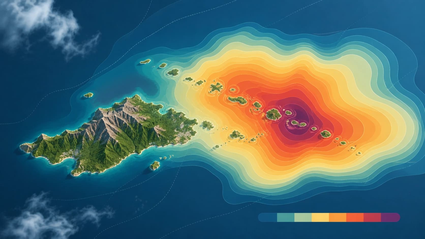
Instead of a single forecast, the model generates a thousand possible paths for each cyclone at once. This makes it possible to track rare but critical events — for example, rapid intensification, when a storm turns into a powerful hurricane within a day. Previously, the system was limited to 50 scenarios; now the ensemble has grown to 1,000 members. Each scenario is not just a line on a map but a complete picture of winds: from tropical storm to hurricane force, with probabilities indicated for each location.
WeatherNext is trained on nearly 20 terabytes of global atmospheric data and the IBTrACS historical cyclone database, which contains records of about 5,000 storms. It is based on functional generative networks (FGNs). A single 15-day forecast is computed in under a minute on Google's TPU processors.
An interesting detail: WeatherNext operates at a resolution of 28×28 km, which is roughly a hundred times coarser than traditional models. The reduced version, WeatherNext 2-mini, uses a 111×111 km grid and still delivers excellent results. Why the model is so accurate at a coarse resolution remains an open research question.
A Global View Instead of Trade-offs
Meteorologists usually have to choose between global models that cover the entire planet and local models that detail a specific region. WeatherNext Cyclones resolves this contradiction: it predicts the general atmospheric circulation while simultaneously describing the trajectory, intensity, and wind structure of a hurricane in detail. The model can produce forecasts up to 15 days ahead, starting from global atmospheric conditions.
The Extra Day in Practice
The key achievement of WeatherNext Cyclones is more than 24 hours of additional lead time. This is confirmed by evaluations on historical cyclones from 2023–2024, where the model consistently outperformed other forecasting systems. If meteorologists could previously reliably predict a dangerous hurricane turn two days in advance, now there is a buffer of three days. For residents of coastal areas, this is not just numbers: an extra day means the ability to complete evacuations, reinforce buildings, and reschedule flights.
The model's practical value has already been tested in real-world operations. During the 2025 hurricane season, the U.S. National Hurricane Center (NHC) used WeatherNext to forecast the rapid intensification of Hurricane Melissa. Thanks to the early warning, residents of Jamaica learned about the danger sooner than they would have with traditional forecasts. And in October 2024, the model successfully handled Hurricane Milton, demonstrating its ability to predict sharp changes in storm strength.
Open Code and the Future
Google has announced that it is open-sourcing the WeatherNext 2 and WeatherNext Cyclones models. This means any meteorological center or research group can run the model on their own systems, adapt it to their needs, and integrate it into existing forecasting infrastructure. This approach accelerates the adoption of AI in operational meteorology worldwide.
It is too early to say that AI will fully replace classical models. But it is already clear: tools like WeatherNext give meteorologists that extra time, which translates into saved lives and reduced damage. And the open code, along with collaboration with leading agencies — NHC, CIRA, and UK Met Office — means the technology will quickly reach real-world weather forecasts.