AI City Challenge turns ten: from tracking cars to understanding the city
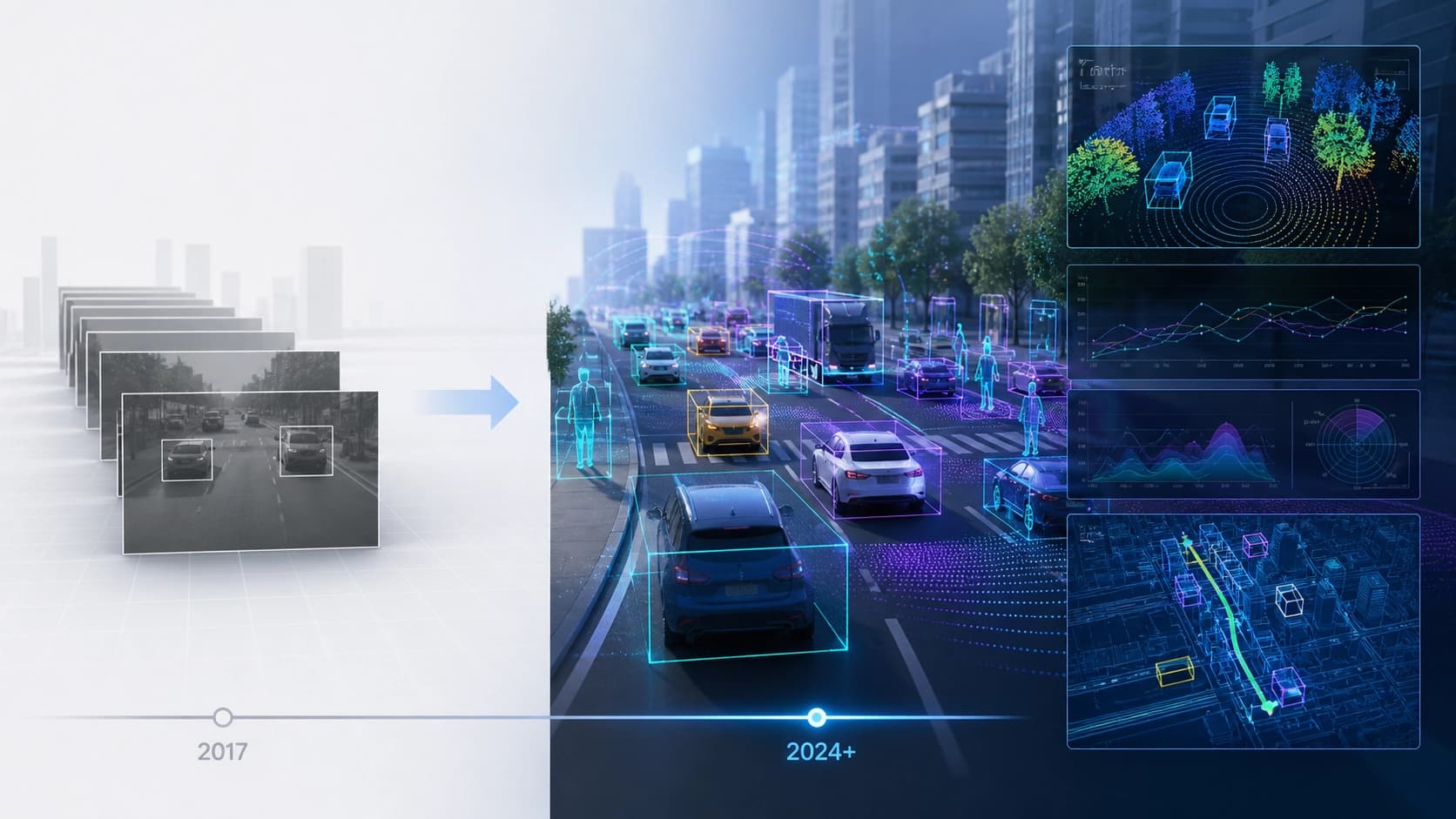
The tenth edition of the AI City Challenge is not just another leaderboard table. The competition, which started in 2017 with quite applied tasks — detecting, classifying and tracking vehicles in camera footage — has grown over eight years into a large-scale platform for physical AI research. This year, the challenge is held together with the ECCV 2026 conference, and its organizers have summed up a symbolic decade of benchmarking in smart cities and intelligent transportation.
What has changed? While the early years focused on "seeing and counting" cars, now the goal is for the machine to understand context: who is breaking the rules, what a pedestrian is about to do, which road episode is dangerous and why. This is no longer just computer vision, but a hybrid of perception, reasoning and prediction — the very field that is now commonly called physical AI.
Record-breaking scale
The anniversary season attracted noticeably more participants than the previous one. This year, 325 teams from 26 countries and regions registered — compared to 245 teams from 15 countries in 2025. Growth of almost a third in the number of teams and nearly double in geographic reach shows that the challenge's tasks have become interesting not only to narrow specialists in transportation vision, but also to a wide range of AI researchers — from working with multimodal models to generative modeling.
Such a spread of participants is natural: the competition tracks cover several directions at once that are rarely found in a single benchmark.
Six tracks — six challenges
The main 2026 program consists of six directions:
- Multi-camera 3D perception — reconstructing a three-dimensional scene from data from multiple cameras, which is critical for autonomous transportation and urban video surveillance.
- Captions and VQA for transportation safety — generating text descriptions of road situations and answering questions about them, so that the system can explain what is happening on the road.
- Reasoning about traffic anomalies — identifying unusual, potentially dangerous events and understanding their causes.
- Text-based search for human anomalies — searching video footage for fragments with unusual pedestrian behavior based on a natural language query.
- Generative forecasting of traffic video streams — synthesizing future frames of road scenes, useful for simulators and model training.
- Cross-city object detection — transferring a model trained on data from one city to cameras in another without loss of quality.

Out-of-domain bonus tracks
Within the third track, the organizers hid two additional competitive leaderboards — formally they count as tracks 7 and 8, but they use data outside the main domain. The first is dedicated to understanding traffic rule violations in footage from fisheye cameras — such lenses are installed in many cities, but models are usually trained on regular street cameras. The second bonus track is VQA about situational pedestrian intentions: you need to answer questions not about what a person is doing now, but about what they are likely to do next. This is noticeably harder than action recognition and requires the model to have a deep understanding of the scene.
Why systems win
An analysis of participants' solutions reveals an interesting pattern. None of the top teams relies on a single architecture alone. Successful approaches are a combination of large foundation models with more classical techniques:
- geometric reasoning — using projective relationships between cameras and 3D space;
- retrieval and re-ranking — selecting relevant video fragments or candidates before the final answer;
- synthetic data design — generating additional training examples for rare scenarios;
- domain adaptation — for example, transferring models between cities or camera types;
- constrained inference — limiting the model's output with certain rules or a vocabulary.
In other words, the new benchmark showed that physical AI is not just "take a big model and point it at data." Reliability is achieved through hybrid schemes where neural networks are supplemented with geometry, external knowledge and careful post-processing.
Ten years — the path from detection to understanding
Looking at the evolution of the AI City Challenge as a whole, the main thing is clear: the benchmark has ceased to be just a testing ground for improving detector accuracy. Now it is a platform for validating holistic intelligent systems that must perceive, reason and predict in a real city environment. Moreover, not only accuracy and speed play an important role, but also privacy — a separate layer of tasks is related to evaluating models without disclosing personal data.
The organizers published a paper describing in detail the competition setup, all datasets, evaluation protocols, leaderboard results and workshop materials. For researchers and engineers, this is essentially a ready-made overview of the current state of affairs in intelligent transportation and physical AI — and at the same time an invitation to try their hand in the next season.