

GeoSpy
AI-сервис для определения географического местоположения по фотографии на основе анализа визуальных деталей.
Обзор
GeoSpy
Описание нейросети GeoSpy
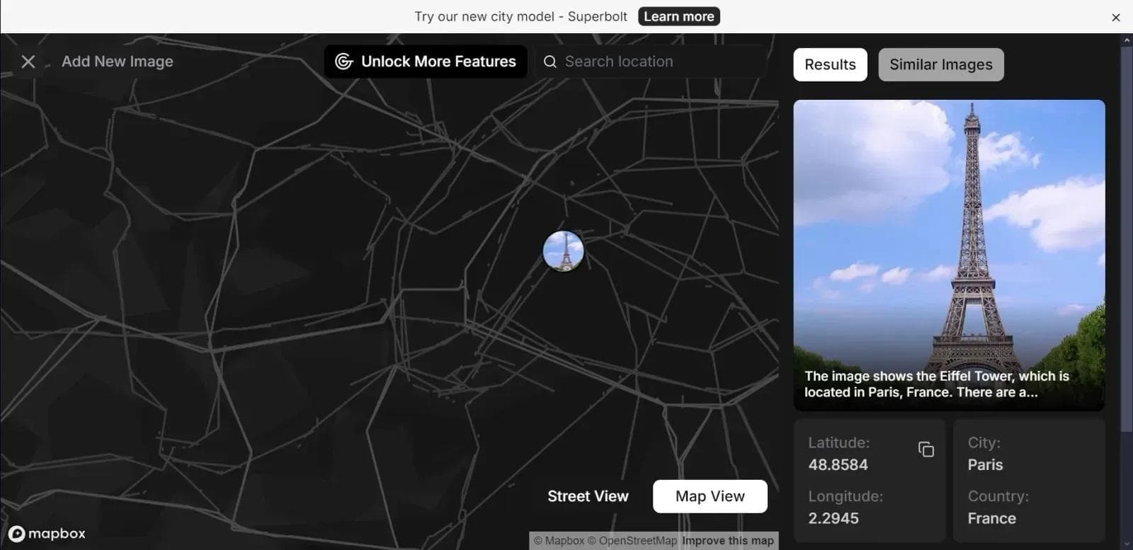
GeoSpy — это искусственный интеллект, который определяет географическое местоположение по фотографии. Сервис анализирует изображение, распознаёт архитектуру, ландшафт, растительность и другие визуальные признаки, а затем сравнивает полученные данные с большой базой изображений и возвращает координаты места съёмки.
Инструмент доступен в виде веб-приложения, поддерживает популярные форматы изображений и имеет бесплатную версию с ограничениями, а также платные тарифы и API для интеграции в сторонние системы. GeoSpy пригодится не только для определения геолокации по снимкам, но и для более широких задач геопространственного анализа, включая работу со спутниковыми изображениями.
Характеристики GeoSpy
| Характеристика | Значение |
|---|---|
| Тип | Геопространственная разведка / ИИ-инструмент для определения геолокации по фото |
| Категории | Распознавание изображений, Планирование путешествий, Путешествия, Исследования |
| Платформа | Веб-приложение |
| Язык интерфейса | Русский и английский |
| Наличие API | Есть |
| Мобильное приложение | Есть |
| Расширение для браузера | Есть |
| Регистрация | Не требуется |
| Бесплатный тариф | Есть (до 20 запросов в сутки) |
| Платные тарифы | Есть (от ~$10 в месяц) |
| Форматы изображений | JPEG, PNG и другие популярные форматы |
| Модель распространения | Freemium |
Для кого подходит нейросеть GeoSpy?
Исследователи и аналитики
GeoSpy будет полезен специалистам, которым нужно понимать географический контекст: аналитикам, картографам и исследователям, работающим с изображениями и пространственными данными.
Организации и службы безопасности
Инструмент подойдёт компаниям и сотрудникам служб безопасности, которые занимаются расследованиями на основе изображений, поиском места съёмки или анализом контента.
Энтузиасты и любопытные пользователи
Сервис также доступен всем, кому интересно узнать, где было сделано то или иное фото, — от путешественников до обычных пользователей, желающих проверить возможности нейросети бесплатно.
Как использовать нейросеть GeoSpy?
Через веб-приложение
Самый простой способ — перейти на официальный сайт GeoSpy, загрузить фотографию и дождаться завершения анализа. Сервис обработает снимок и выдаст координаты места съёмки вместе с краткой информацией о локации. Для работы через веб-приложение установка программ не требуется.
Через API
Для автоматизации задач и встраивания функций геолокации в собственные рабочие процессы GeoSpy предоставляет API. Это позволяет интегрировать определение местоположения в другие системы и наладить непрерывную обработку изображений.
Через мобильное приложение и расширение для браузера
Помимо веб-версии, инструмент доступен как мобильное приложение и расширение для браузера, что делает использование удобным на разных устройствах и в разных сценариях.
Основные функции GeoSpy
Определение местоположения по фотографии
GeoSpy анализирует изображение и по визуальным признакам — архитектуре, инфраструктуре, ландшафту, растительности, горам и водоёмам — определяет, где был сделан снимок. Сервис выдаёт координаты места съёмки и ссылки на источники для проверки результата.
Анализ и интерпретация пространственных данных
Инструмент способен работать со спутниковыми снимками и пространственными данными: выявлять изменения в ландшафте, анализировать модели землепользования и оценивать состояние сельскохозяйственных культур.
Распознавание культурных и исторических особенностей
Для более точного определения геолокации GeoSpy учитывает также культурные и исторические особенности местности, что помогает распознавать достопримечательности и уточнять результат.
Преимущества GeoSpy
Высокая точность и скорость
Мощные алгоритмы искусственного интеллекта обеспечивают точный анализ изображений и быстрое определение локации с понятным выводом данных.
Простота использования и интеграции
Сервис работает как веб-приложение без установки, а наличие API позволяет легко встроить его в рабочие процессы и автоматизировать задачи геолокации.
Доступность бесплатного тарифа
Бесплатная версия с ограничением количества запросов позволяет протестировать возможности нейросети перед переходом на платные планы.
Недостатки GeoSpy
Ограничения бесплатной версии
Бесплатный тариф имеет лимит примерно в 20 запросов в сутки, поэтому для интенсивного использования потребуется платная подписка.
Региональные ограничения и язык
Интерфейс на английском языке может быть неудобен части пользователей, а в некоторых странах для доступа к сервису могут потребоваться инструменты обхода региональных ограничений.
Какие задачи решает GeoSpy
Определение геолокации и расследования
Основная задача сервиса — определение места съёмки по фотографии, поиск геолокации по изображению и проведение расследований на основе визуальных данных (OSINT).
Картографирование и туристическая аналитика
GeoSpy помогает в картографировании, туристической аналитике и распознавании достопримечательностей.
Мониторинг и планирование
В более широком смысле инструмент применяется для мониторинга окружающей среды, городского планирования, контроля состояния сельскохозяйственных культур, реагирования на стихийные бедствия, военной разведки, выявления изменений в ландшафте и стратегического планирования.
Цены GeoSpy
GeoSpy работает по модели freemium. Бесплатная версия включает до 20 запросов в сутки и позволяет познакомиться с основными функциями. Платные планы открывают доступ к расширенным возможностям и увеличенному количеству запросов; начальный платный тариф составляет около 10 долларов в месяц. Также предусмотрена триал-версия. Актуальные цены рекомендуется уточнять на официальном сайте сервиса.
Условия использования GeoSpy
Для работы с сервисом регистрация не требуется. Основные функции доступны бесплатно, а для расширенного использования необходимо перейти на платный тариф. При этом в некоторых странах доступ к GeoSpy может быть ограничен, и для использования инструмента могут потребоваться средства обхода региональных ограничений.
Доступность GeoSpy
GeoSpy работает как веб-приложение, а также доступен в виде мобильного приложения и расширения для браузера. Сервис поддерживает популярные форматы изображений, включая JPEG и PNG. Интерфейс доступен на русском и английском языках. Для разработчиков предусмотрен API для интеграции в сторонние системы.
Чем отличается GeoSpy от аналогов
Основное отличие GeoSpy от похожих инструментов, например Lenso AI, заключается в узкой и глубокой специализации именно на определении местоположения. Если конкуренты в большей степени ориентированы на поиск похожих фотографий, то GeoSpy фокусируется на точном установлении геолокации по снимку. Дополнительным преимуществом является наличие API для интеграции, что отличает сервис от инструментов без поддержки автоматизации, а высокая точность результатов выделяет его среди похожих решений.
Заключение
GeoSpy — практичный и точный инструмент для определения географического местоположения по фотографии, а также для анализа спутниковых и пространственных данных. Сервис будет полезен исследователям, аналитикам, сотрудникам служб безопасности, специалистам по картографированию и туризму, а также всем, кто хочет быстро узнать, где был сделан тот или иной снимок. Благодаря бесплатной версии возможности нейросети можно проверить без затрат, а платные тарифы и API расширяют её применение для профессиональных задач.
Тарифы
Часто задаваемые вопросы


Смотрите также
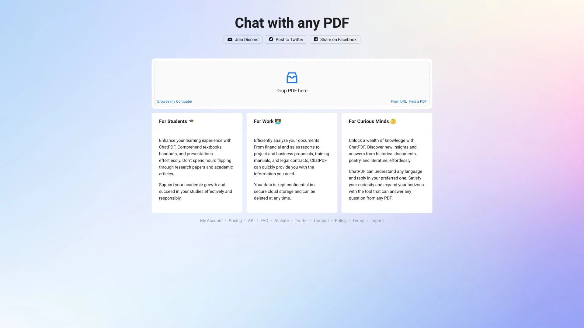
Онлайн-сервис, который позволяет общаться с PDF-документами в чате: задавать вопросы и получать краткие ответы с указанием источника.
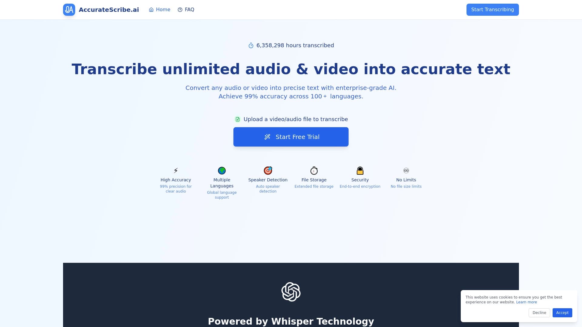

Сервис для автоматической расшифровки аудио и видео в текст с поддержкой более 100 языков.

AI-агент для автоматизации рутинных действий в браузере, таких как заполнение форм и сбор данных.

Интеллектуальный помощник для юристов, ускоряющий поиск и анализ юридической информации.


Платформа на основе искусственного интеллекта для генерации юридических документов, анализа контрактов и получения правовой информации.


ИИ-ассистент для создания текстового контента, изображений и работы с голосом, ориентированный на русскоязычных пользователей.
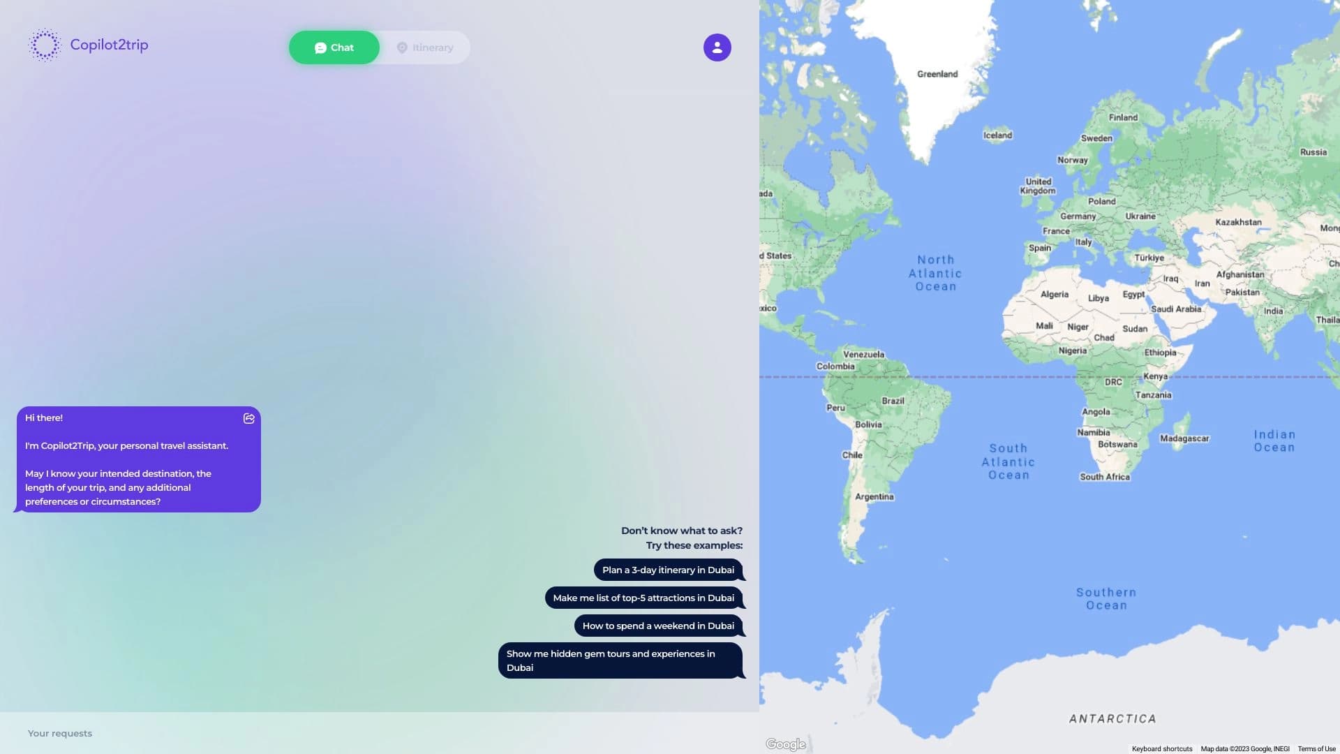
AI-сервис для автоматического создания персонализированных планов путешествий.

Каталог AI-инструментов с обучающими материалами и руководствами для подбора нейросетей.